
Abu Krinat
A Bedouin locality about four kilometers northwest of Dimona
More photographs
The story
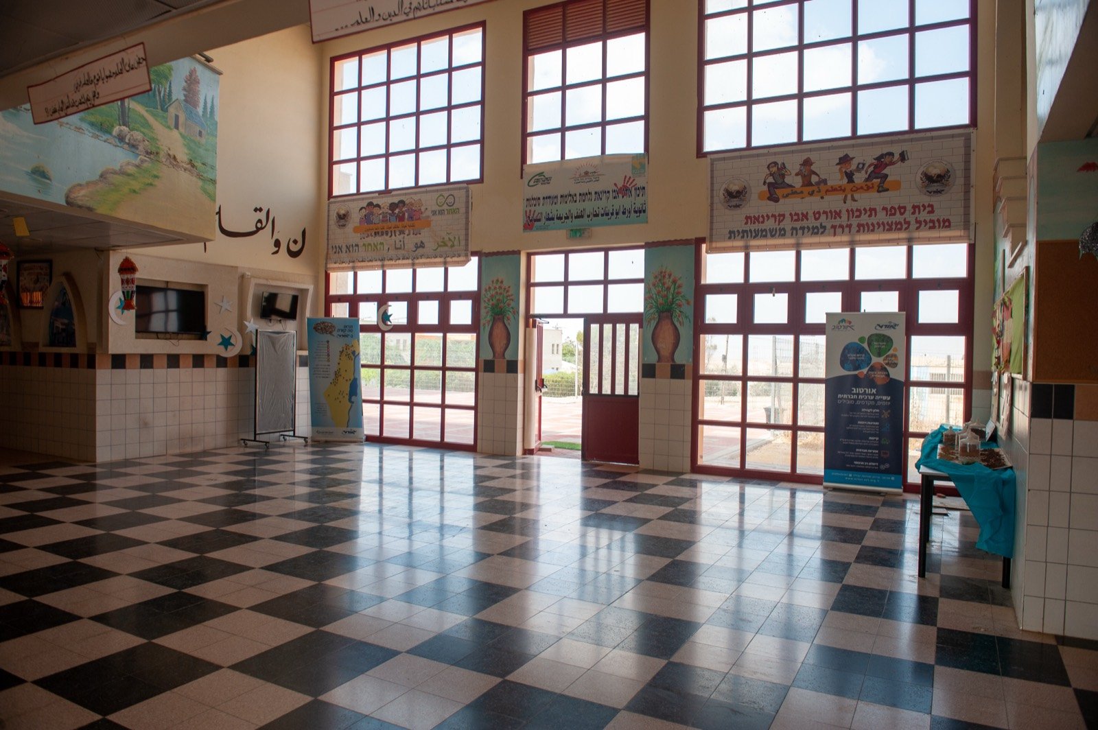
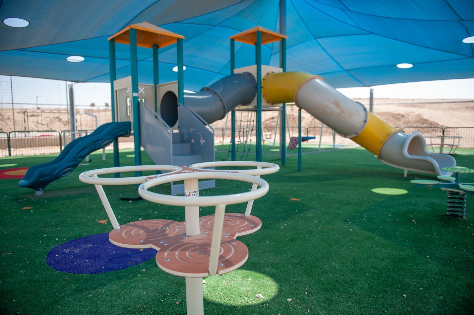
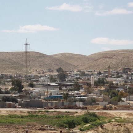
Abu Krinat is a Bedouin locality about four kilometers northwest of Dimona, beside Route 25. It lies within the bounds of the Neve Midbar Regional Council, and until November 2012 it was within the bounds of the Abu Basma Regional Council, which was divided into two. Its beginning was as an unrecognized village in the Bedouin dispersion, of the people of the Abu Krinat tribe after whom the locality is named. After years in that standing the State of Israel recognized it, and it received infrastructure and services. Its former name was “Beit Pelet”. According to the Central Bureau of Statistics, as of the end of November 2023 the estimate in the area of the recognized locality is two thousand three hundred and fifty-four residents; the site of the Neve Midbar Regional Council gives an estimate of five thousand to seven thousand two hundred. In the locality kindergartens operate, elementary schools and a high school, and a multi-purpose building was built with a library, a bicycle club and cultural activity in it. In 2016 a trial excavation was carried out in the al-Ghanami neighborhood ahead of development works. Evidence was found in it of intensive agricultural activity in the area, mainly in the Byzantine, Mamluk and Ottoman periods: remains of buildings — one of them proposed as an open mosque — installations, dwelling caves, graves, dams and agricultural terraces.
Read onPerhaps this too

At the place itself the stamp also gets a postmark with the date.
Sources
- אבו קרינאת — ויקיפדיה העברית Accessed 2026-08-14
- Wikidata Q2747921 — coordenada Accessed 2026-08-14
Photographs

