

The Valley of the Zealots
A valley on the southern edge of the Judean Desert
The story
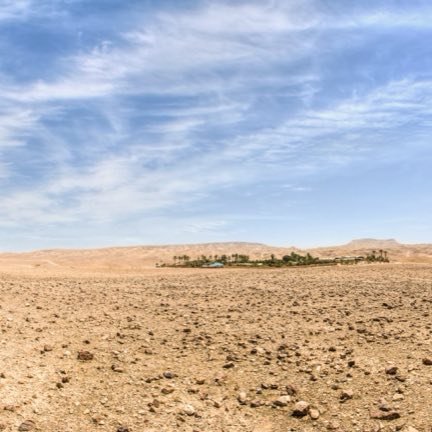
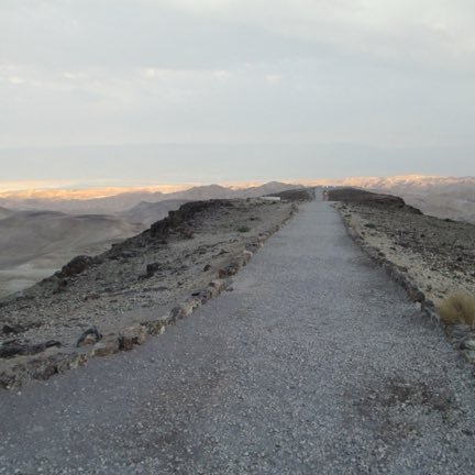
The Valley of the Zealots is a valley on the southern edge of the Judean Desert, at a height of three hundred and nine meters above sea level. It is bounded on the east by Mount Kana'im, on the west by Mount Tzfira and on the south by Mount Menahem. To its north descends Nahal Tze'elim, a deep wadi that falls hundreds of meters from the height of the valley, and in the stretch adjoining the valley is Birkat Tzfira, access to which is made through the valley. Its name comes from the zealots who were active in the area in the days of the Great Revolt against the Romans. Road 3199, which connects Arad to Masada, crosses the valley from east to west, and an unpaved track three and a half kilometers long branches off from it along its center. The Israel National Trail passes here in the section between Arad and Masada, and beside it the Birkat Tzfira night campsite. The valley is drained by Nahal Adina, which flows to Nahal Rahaf, and to its north by Nahal Tzfira, which flows to Nahal Tze'elim; both of them empty in the end into the Dead Sea.
Read onPerhaps this too
At the place itself the stamp also gets a postmark with the date.
Sources
- בקעת קנאים — ויקיפדיה העברית Accessed 2026-08-14
- Wikidata Q26762857 — coordenada Accessed 2026-08-14
Photographs
- Created with artificial intelligence