
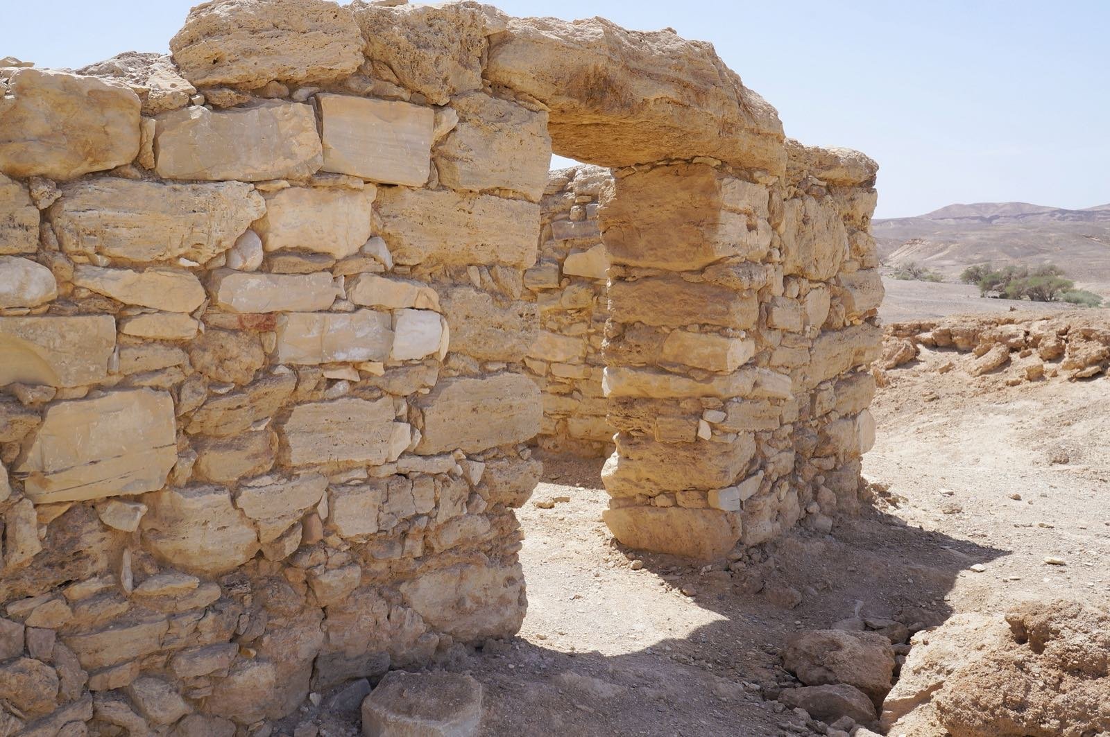
Moa
Stands in the Arava, at the meeting between the Arava road that passes from north to south and the Incense Route that passes from east to west
The story
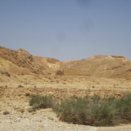
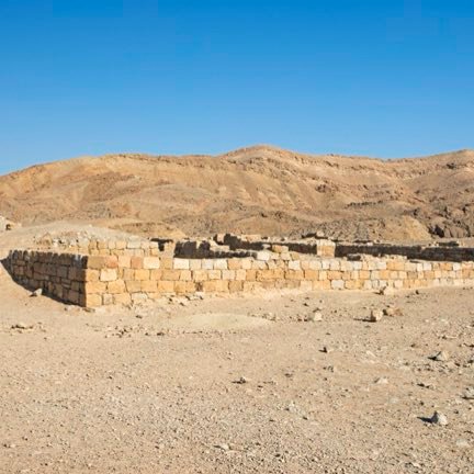
Moa stands in the Arava, at the meeting between the Arava road that passes from north to south and the Incense Route that passes from east to west, and it is the eastern edge of the site inscribed at UNESCO. The Nabataeans established a way station here, and it went on operating in the Roman period. In the excavations conducted by Rudolf Cohen in 1981 a khan with an open courtyard surrounded by rooms, a bathhouse, a fortification two meters high, a temple and shops were uncovered; beside them a desert agriculture system with a spring and a plastered pool in it, and an oil press that was operated by the Roman method. Among the seeds preserved at the place, dates and olives that were grown in the surroundings were found, and also peaches and walnuts that were imported, and cedar and acacia wood. In 2005 the fortress and the khan of Moa were inscribed on the UNESCO World Heritage list, as part of the Incense Route — Desert Cities in the Negev.
Read onPerhaps this too
At the place itself the stamp also gets a postmark with the date.
Sources
- מואה הנבטית — ויקיפדיה העברית (המיקום, החאן, חפירות רודולף כהן 1981, הזרעים ומעמד אונסק"ו) Accessed 2026-08-14
- Incense Route – Desert Cities in the Negev — Wikipedia (a lista dos componentes inscritos em 2005: as quatro cidades, os fortes Moa, Kazra, Nekarot, Makhmal e Grafon, e os khans; criterios iii e v; 6.655 ha) Accessed 2026-08-14
- מצד מואה — OpenStreetMap (a coordenada do forte) Accessed 2026-08-14
Photographs
- Ladyredsea CC BY-SA 4.0
