
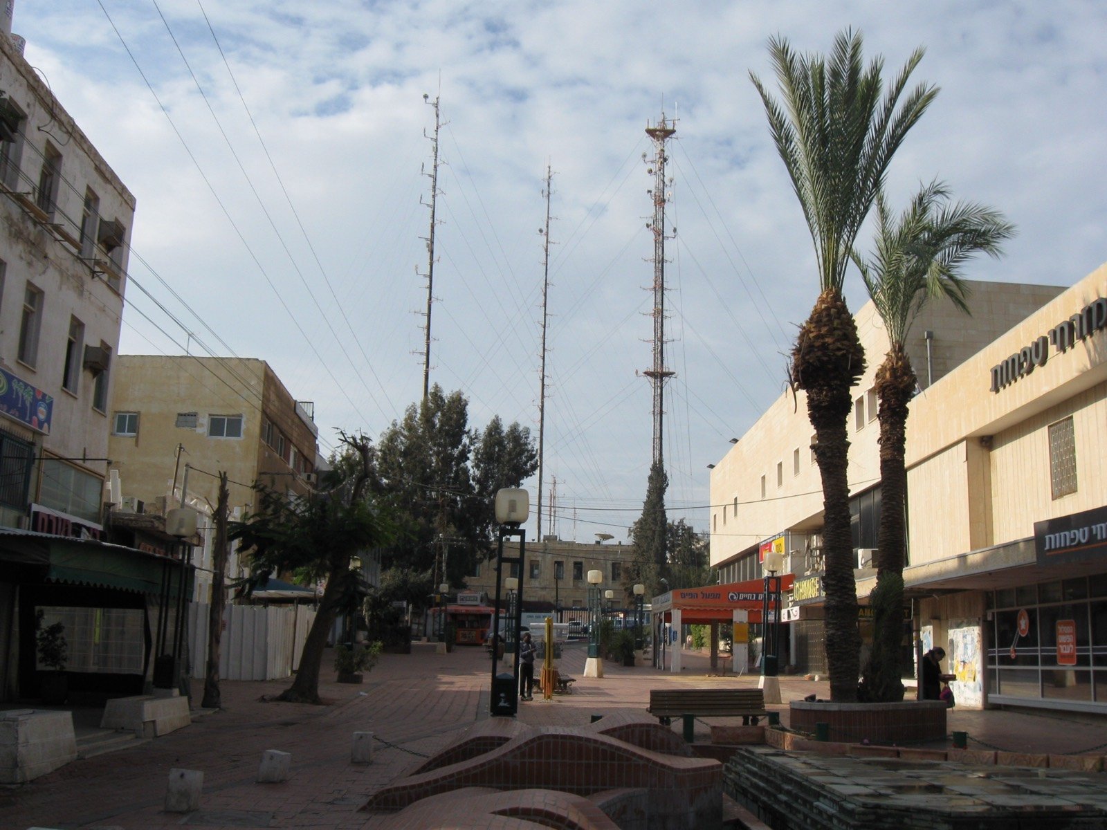
Keren Kayemet LeIsrael Street
One of the first streets of modern Beersheba
The story
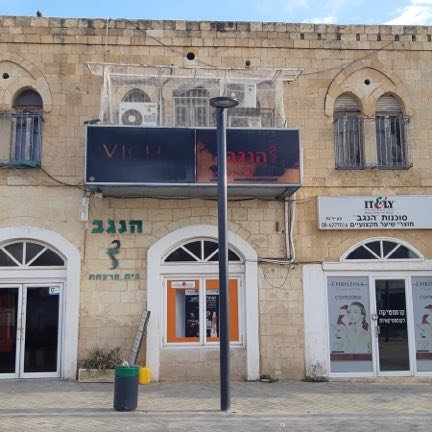
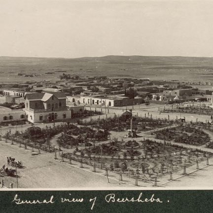
Keren Kayemet LeIsrael Street is one of the first streets of modern Beersheba, the one the Ottomans built at the beginning of the 20th century, and it runs through the heart of the Old City. In the Ottoman period it was called “the 20 Meter Street”, because its width was twenty meters and it was the widest in the city. Its length is about six hundred meters and its direction is northwest to southeast: at its northern end, on a hill, stands the Saraya House, and at its southern end Abraham's Well. One of the buildings that have been well preserved in it is a Turkish house of the well-to-do, in which the Negev pharmacy operates today. In the first half of the twentieth century this was the main street of the city, and also the axis that connected the roads to Gaza, to Hebron and to Auja al-Hafir; along it stood shops that served the residents and the passers-by. After the British entered the city in 1917 cafés, restaurants and hotels opened in it, and even a central bus station for Gaza and Hebron. In the 1980s its northern part was converted into a pedestrian mall, and it was one of the successful commercial streets in the city until the middle of the 1990s. The Negev Mall, which opened in those years, and after it further commercial centers, drew the public to them, and some of the shops on the street closed. In the middle of the 1990s the street was deserted, and attempts to renovate it did not succeed particularly. At the beginning of the 2000s the municipality came out with a plan to turn the Old City into an entertainment complex, and the plan succeeded partly: some of the Ottoman buildings were renovated.
Read onPerhaps this too
At the place itself the stamp also gets a postmark with the date.
Sources
- רחוב קרן קיימת לישראל — ויקיפדיה העברית Accessed 2026-08-11
- מדרחוב קרן קיימת לישראל (Q6774904) — Wikidata Accessed 2026-08-11
- OpenStreetMap — vias com nome «קרן קיימת לישראל» na Cidade Velha (ways 27931329 e 358706585, highway=pedestrian) Accessed 2026-08-11
Photographs
- Ori~ Attribution
