
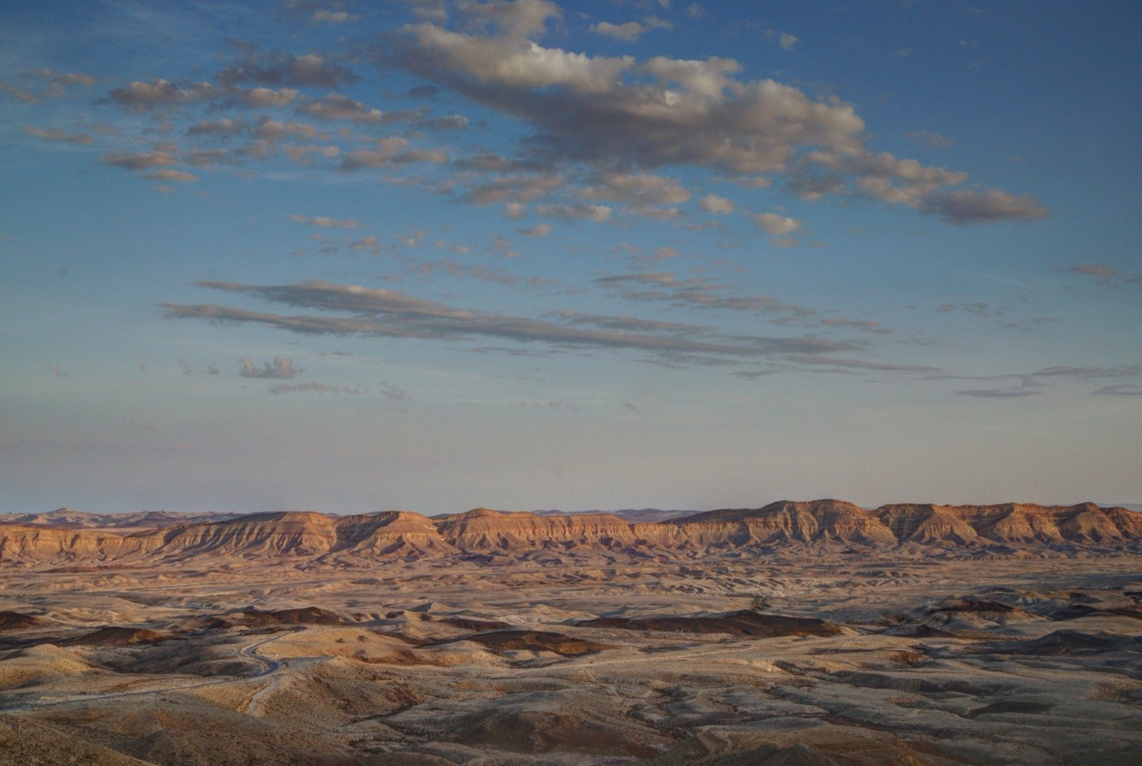
Makhtesh Yeruham
— formerly the Great Makhtesh, and by its geological name Makhtesh Hatira — is located about seven kilometers southeast of Yeruham
More photographs
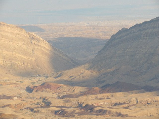
The story
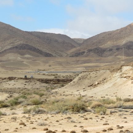
Makhtesh Yeruham — formerly the Great Makhtesh, and by its geological name Makhtesh Hatira — is located about seven kilometers southeast of Yeruham. It is one of the five makhteshim in the Negev, a phenomenon that almost does not exist outside this region, and the second among them in size. Its length is fourteen kilometers, its width six and its maximum depth four hundred and ten meters; the stream that drains it is Nahal Hatira. Its former name came from its having been discovered before Makhtesh Ramon, and from its being larger than the Small Makhtesh, which was known before it. In June 2015 its name was changed to Makhtesh Yeruham, according to the proposal of Amram Mitzna, who then stood at the head of the appointed committee, in order to encourage tourism to the town; in 2017 road signs with the new name were installed. Its formation required a rare combination: an asymmetric anticline, hard rock layers above soft layers, a downcutting stream with a low base level of erosion, and a desert climate. The forces of folding acted here from about ninety million years ago and created the anticlines of the Negev; about thirty million years ago the sea retreated, the crest of the anticline was worn away, the soft sandstone was exposed and was swept out, and the hard limestone layers collapsed and set the vertical walls. In the period of the Mandate the British tried to find oil here: they carried out a geological survey, set up a work camp and laid the Suling road, but did not manage to drill. In 1962 the National Oil Company drilled "Mazal 1" and "Mazal 2" nearby, drillings that brought up nothing. After the founding of the state the mining of clay and sand was begun, and inside the makhtesh the "Hatira" plant of Negev Industrial Minerals operates, for the mining, drying and sifting of quartz sand.
Read onIn this place
Perhaps this too
At the place itself the stamp also gets a postmark with the date.
Sources
- המכתש הגדול — ויקיפדיה העברית Accessed 2026-08-14
- Wikidata Q2911410 — coordenada Accessed 2026-08-14
Photographs

