
Horvat Uza
A multi-layered site on the eastern border of the Arad valley
More photographs
The story
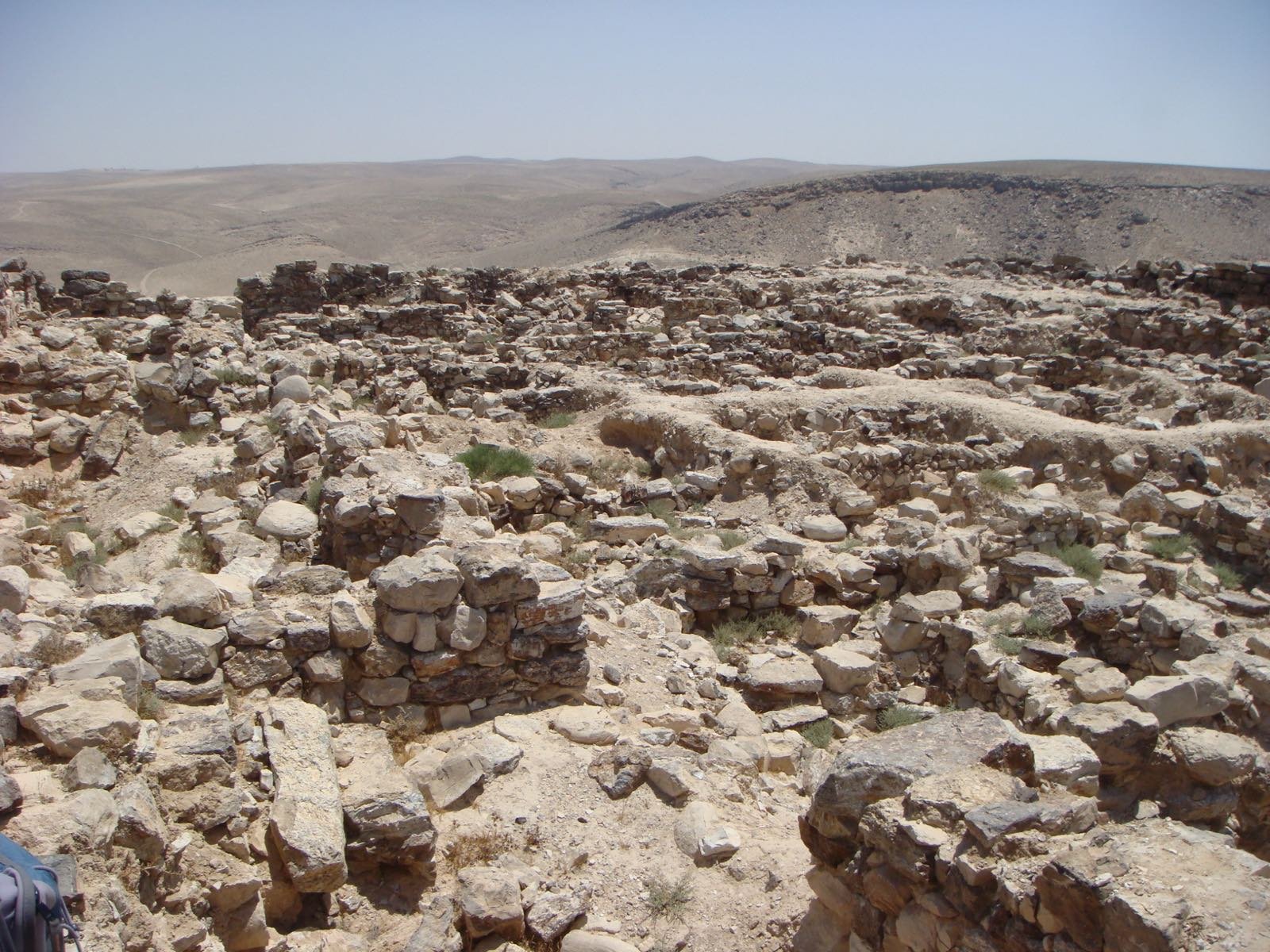
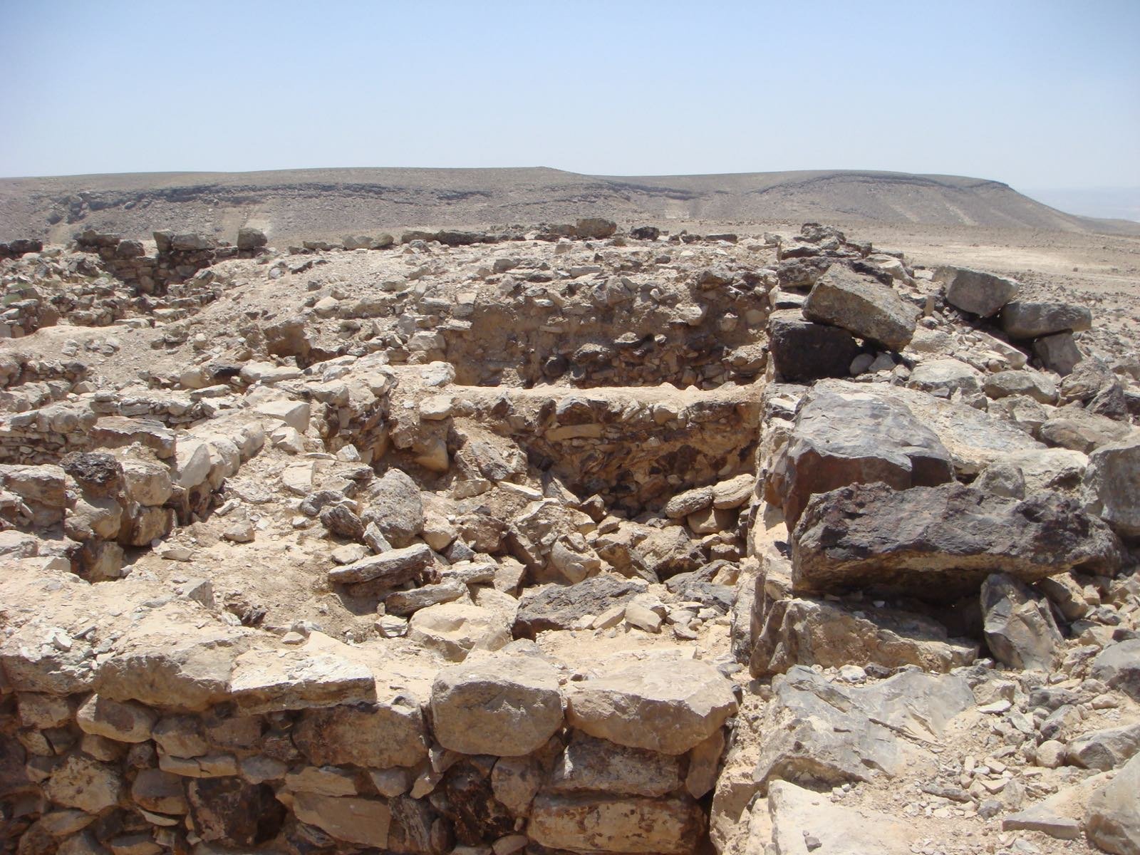
Horvat Uza is a multi-layered site on the eastern border of the Arad valley, above Nahal Kinah. It served as a fortress over many periods and commanded an ancient road that passed along the stream. Alois Musil surveyed it at the beginning of the twentieth century; Albrecht Alt and Michael Avi-Yonah identified a Roman fortress here; in 1956 Yohanan Aharoni surveyed it thoroughly and dated the fortress to the eighth and seventh centuries BCE. Between 1982 and 1985 six excavation seasons were carried out here under the direction of Itzhaq Beit-Arieh and Bruce Cresson, on behalf of the Institute of Archaeology of Tel Aviv University and the Institute of Archaeology of Baylor University in Waco, Texas. The fortress from the seventh century BCE is a rectangle of forty-two by fifty-one meters, surrounded by a wall a meter and a half thick, and in it ten square towers. A gate in the north, and from the gate goes out a street that divides the inner area into two blocks of buildings. In the courtyard, close to the gate, a platform built of undressed stones was uncovered, and beside it a thick layer of ash containing animal bones. The settlement north of the fortress extends over seven dunams, is built on terraces, and between the blocks of buildings run streets two to four meters wide. The identification of the site is disputed: Aharoni proposed to identify it with Ramat Negev, while André Lemaire, Anson Rainey and Nadav Na'aman reject the identification because no remains from before the seventh century were uncovered, and propose Kinah.
Read onPerhaps this too

At the place itself the stamp also gets a postmark with the date.
Sources
- חורבת עוזה — ויקיפדיה העברית Accessed 2026-08-14
- Wikidata Q12407393 — coordenada Accessed 2026-08-14
Photographs
- ליאור גולגר, PikiWiki CC BY 2.5
- ליאור גולגר, PikiWiki CC BY 2.5

