
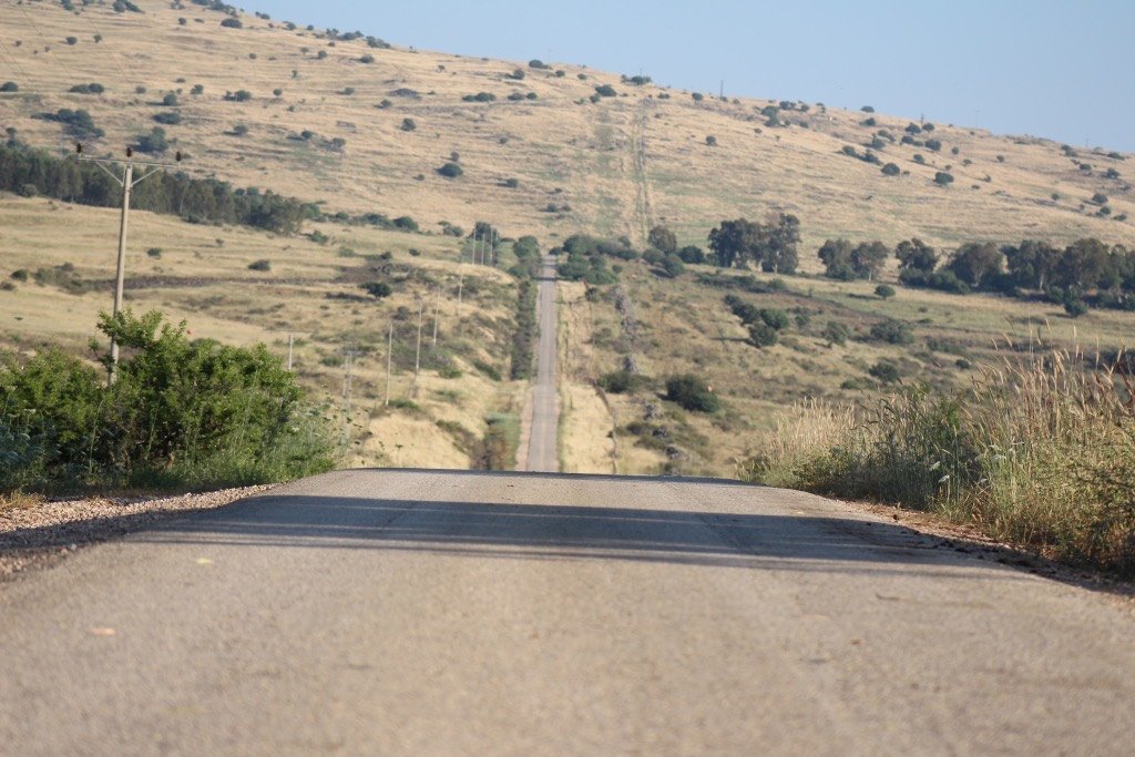
The Petroleum Road
A transverse road that was paved in 1941 by the Iraq Petroleum Company
The story
The Petroleum Road is a transverse road that was paved in 1941 by the Iraq Petroleum Company, and hence its name. Its length is about twenty-three kilometers, and it leads from the Negev Junction to the channel of Nahal Hatira in the center of the Great Makhtesh. Today it is marked as road 224 in its western part, between the Negev Junction and Yeruham, as a short section of road 204 in between, and as road 225 in its eastern part, from Yeruham to the makhtesh; at its end a dirt road of about two kilometers inside the makhtesh. According to the geological theories of those years there were good prospects for an oil trap in the Hatira ridge, and the makhtesh itself is a kind of giant "natural borehole" that brings the surface of the ground closer to the deposits. For that the Iraq Petroleum Company paved the road and set up a workers' camp at Mount Avnon. The searches ended without a find. The road that leads east to Ma'ale Akrabim served for years as the only overland route to Eilat. In February 1973 the section of road 40 from Mashabei Sadeh to Sde Boker was opened, the passage on road 224 became superfluous, and the traffic to Yeruham moved to the northern section of road 204 — a thing that greatly lengthened the way to Neot Hovav and harmed the employment possibilities of the residents of the town. In November 1980, after pressures by the heads of Yeruham, the refurbishment of the road began; two years later the contractor went bankrupt after two thirds of the work, and the road was opened as it was. In April 1986 the government decided to complete the paving.
Read onPerhaps this too
At the place itself the stamp also gets a postmark with the date.
Sources
- כביש הנפט (נגב) — ויקיפדיה העברית Accessed 2026-08-14
- Wikidata Q6877005 — coordenada Accessed 2026-08-14
Photographs
- יואב שמואלי, PikiWiki CC BY 2.5
