
Nahal Be'er Sheva
An ephemeral stream and one of the largest in the northern Negev
The story
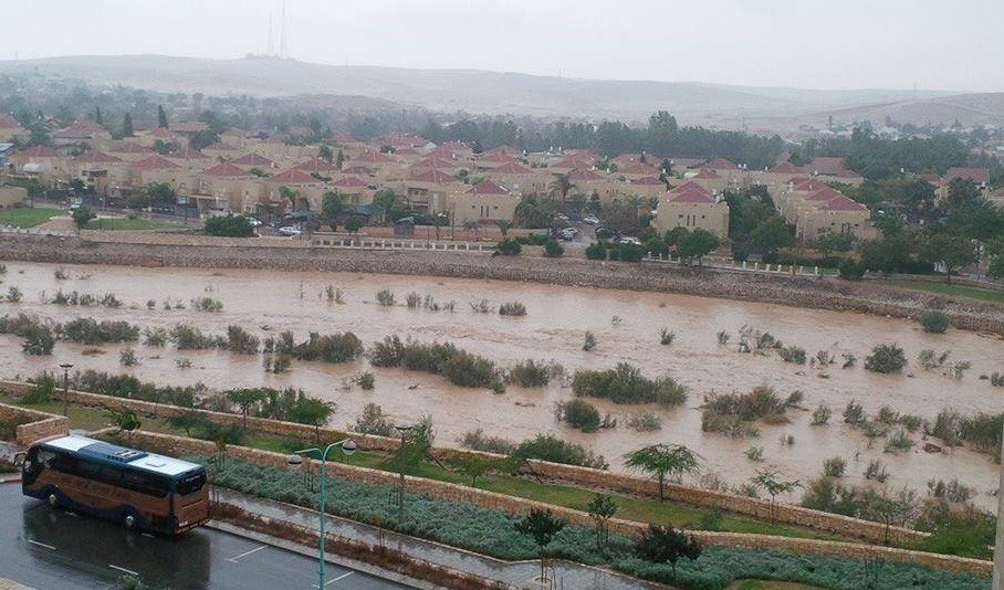
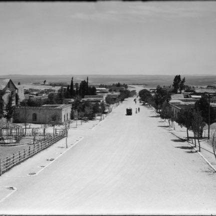
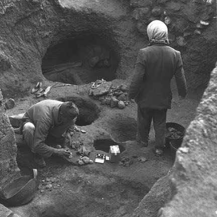
Nahal Be'er Sheva is an ephemeral stream and one of the largest in the northern Negev, one of the tributaries of Nahal HaBesor. Its length is about fifty kilometers and the area of its drainage basin is about 1,700 square kilometers. Its beginning is west of Tel Arad; it descends southward, passes west of Kuseife and turns westward, joins Nahal Malhata near Tel Malhata, enters the Beersheba valley north of Nevatim, passes south of Tel Sheva and of Tel Be'er Sheva, crosses the city of Beersheba and continues southwestward until it flows into Nahal HaBesor near Be'er Osnat. Its tributaries are Nahal Tela and Nahal Adarim from the east, Nahal Anim and Nahal Yatir from the north, and Nahal Aroer and Nahal Nevatim from the south. The stream is the geographical reason for the very existence of the city. Its drainage basin also gathers part of the rainwater of the Hebron hills, and beneath it is an aquifer of high groundwater in which wells can be dug with relative ease and a large quantity of water produced — a real advantage in a desert environment. On its banks the people of the Chalcolithic culture settled in the fifth millennium BCE, in places where the water could be reached by digging a well. The area of the wells on the banks of the stream was also the line where the holdings of the three great tribes of the Negev met — the Azazma, the Tarabin and the Tiyaha. The water made it a place of meeting and of trade between the tribes and a point of inter-regional commerce, and weekly market days were held in it even before the Ottomans founded the city in 1900. In the section that passes through the city, sewage whose source is in Nahal Hevron flows in the stream, and it is absorbed into the ground on the way out of Beersheba.
Read onPerhaps this too
At the place itself the stamp also gets a postmark with the date.
Sources
- נחל באר שבע — ויקיפדיה העברית Accessed 2026-08-11
- Nahal Be'er Sheva (Q7411316) — Wikidata Accessed 2026-08-11
- באר שבע בתקופה העות'מאנית — ויקיפדיה העברית Accessed 2026-08-11
- Beersheba culture — English Wikipedia Accessed 2026-08-11
- وادي السبع (فلسطين) — ويكيبيديا العربية (مصدر الاسم العربي للوادي) Accessed 2026-08-14
Photographs
- Danny-w CC BY-SA 3.0
- NASA (carregado por Rafa1478) Public domain

