
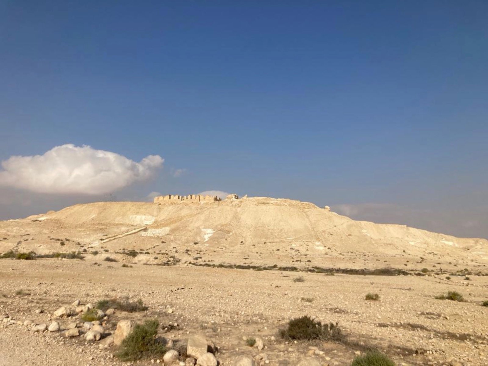
Tel Nitzana
Stands in the Nitzana plain in the west of the Negev
The story
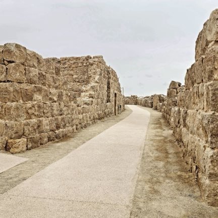
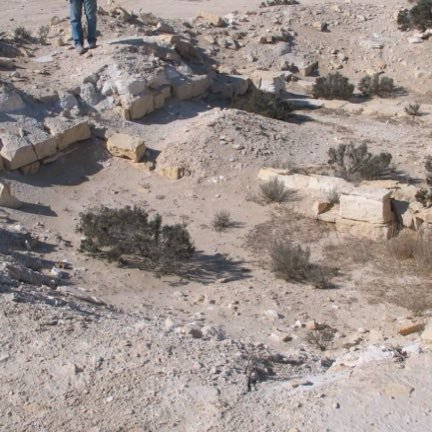
Tel Nitzana stands in the Nitzana plain in the west of the Negev, at an ancient crossroads next to the water wells of Wadi Auja al-Hafir. The settlement arose as a Nabataean trading center, and in the Byzantine and early Muslim periods it served as a station for the Christian pilgrims who went down to Mount Sinai; at the top of the tel a church, a chapel, a rectangular military camp whose dimensions are 85 by 35 meters and dwelling buildings were uncovered. The structure that stands today at the top of the tel is Ottoman, and it is built on the foundations of a Nabataean temple and a Byzantine fortress. The Ottomans established here an administrative center after the marking of the border facing Sinai, and in the First World War they built a railway station on the line that went south, and also a hospital. In the excavations of the expedition of H. Dunscombe Colt in the years 1935–1938, 195 papyri in Greek and in Arabic from the sixth and seventh centuries were found, called the Nitzana papyri and considered the most important source on the Negev in that period. The British established a police station at the place, and in the armistice agreements with Egypt in February 1949 a demilitarized zone was determined here. The site is a national park, and since 1986 it has been excavated on behalf of Ben-Gurion University of the Negev.
Read onPerhaps this too
At the place itself the stamp also gets a postmark with the date.
Sources
- תל ניצנה — ויקיפדיה העברית (התקופות, הכנסיות, המחנה הצבאי, פפירוסי ניצנה וחפירות אוניברסיטת בן-גוריון) Accessed 2026-08-14
- עוג'ה אל-חפיר — ויקיפדיה העברית (מרכז המינהל העות'מאני, תחנת הרכבת, תחנת המשטרה הבריטית ואזור מפורז 1949) Accessed 2026-08-14
- גן לאומי ניצנה — OpenStreetMap (a coordenada do parque) Accessed 2026-08-14
Photographs
- שרון קניגסברג / PikiWiki CC BY 2.5
