
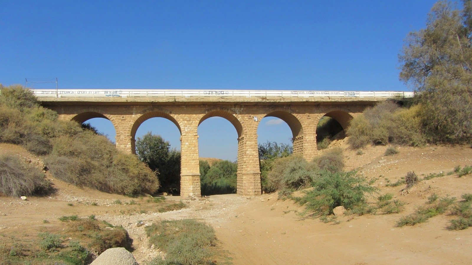
The Railway Bridge over Nahal Patish
The railway bridge over Nahal Patish was erected by the Ottomans in the First World War
The story
The railway bridge over Nahal Patish was erected by the Ottomans in the First World War, as part of the railway from Nahal Sorek to Kusseima, which was intended to reach the vicinity of the Suez Canal. It is located close to Route 25, between Ha-Nasi junction and Sde Teiman, about three and a half kilometers south of Ha-Nasi junction. The bridge is built of dressed stones and is composed of four piers that carry five arches, and it can be seen that the central pier and the two arches that rest on it were built in a later period. The track that ran over it was narrow, 105 centimeters wide as was customary in the Ottoman Empire, and at the head of the railway works stood the German engineer Heinrich Meissner. The British Mandate authorities found no use for the narrow military tracks and dismantled them, and from then the road between Gaza and Beersheba passed over the bridge; in 1938 the road was paved and surfaced with asphalt, and it went on passing over it. In May 1948, after the Egyptian army invaded and took control of Beersheba, the bridge was blown up by the Haganah in order to hinder the movement of the Egyptian forces into the territory of the Jewish state, and in the explosion the central pier and the two arches that rested on it were destroyed. After the IDF entered Beersheba in October 1948 the Engineering Corps returned the bridge to use by means of a Bailey bridge, and in 1951 it was rehabilitated by the Public Works Department with the rebuilding of the missing pier and the two arches. In the 1990s Route 25 was widened and a new bridge was dedicated east of the old bridge, and today a water line passes over the old bridge. In the past the section of the stream was called Wadi Zumeili, and the bridge was also called “Bridge 98” and “Ibrahim's Bridge”, after Ibrahim Abu Argeig, head of the Abu Rgeig tribe at the time of its construction.
Read onPerhaps this too
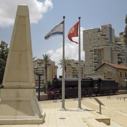
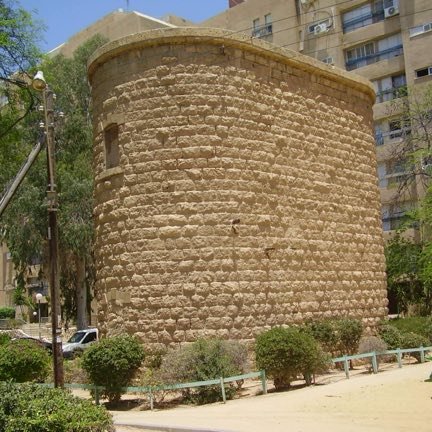
At the place itself the stamp also gets a postmark with the date.
Sources
- גשר הרכבת מעל נחל פטיש — ויקיפדיה העברית Accessed 2026-08-10
- Nahal Patish Railway Bridge (Q85999853) — Wikidata Accessed 2026-08-10
- File:Turkish railway bridge north of be'er sheva.jpg — Wikimedia Commons Accessed 2026-08-10
- OpenStreetMap — way/368335777 (ponte, old_ref=25, sobre נחל פטיש) Accessed 2026-08-11
- File:Turkish railway bridge north of be'er sheva.jpg — Wikimedia Commons (P18 de Q85999853, geoetiquetada 31.300509, 34.710027) Accessed 2026-08-11


Photographs
- Amirber CC BY-SA 3.0