
The Old City of Beersheba
The first neighborhood of the present-day city
The story
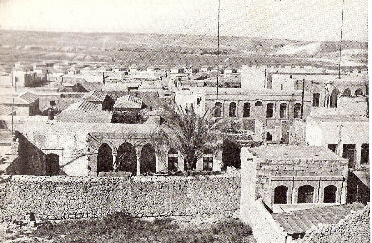
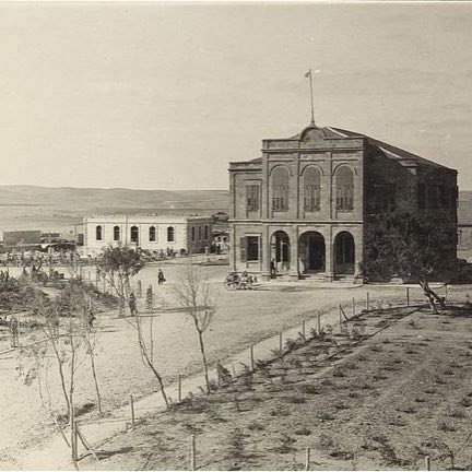
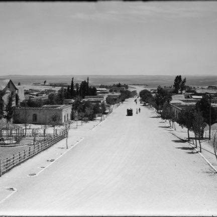
The Old City of Beersheba is the first neighborhood of the present-day city, and it is not the biblical city — that one is at Tel Be'er Sheva, east of the city. It is the only city that Ottoman rule built in the Land of Israel, and it served as a central place for control over the army forces. Its construction began in 1900 on a grid pattern of streets. Its location was determined near three large concentrations of Bedouin settlement and because of the quantities of groundwater at the place, and the first building erected was the two-story police station, intended to reduce disputes between the tribes. The plan included sixty square blocks of 3.6 dunams each, each square divided into four plots; the width of the streets was about 15 meters, except for Keren Kayemet Street, which served as a main axis and whose width was about 20 meters. The plan also included grand buildings intended to emphasize the power of the government: the Saraya, the Great Mosque and the governor's house. From 1914 the city served as a center for the Turkish army, and in 1915 a railway station was built in it whose line came from Lod. On 31 October 1917 ANZAC forces of the British army under the command of General Allenby entered the city. In the Mandate period the city was Arab and was called Bir a-Saba; in the 1922 census 2,356 residents were counted in it, of whom 98 were Jews. In May 1948 the army of Egypt entered it, and on 21 October 1948 the IDF entered it in Operation Moshe of the Negev Brigade under the command of Nahum Sarig. Until the 1980s it was the commercial center of Beersheba. According to the source about 350 buildings from the Ottoman and Mandate periods remain in it.
Read onIn this place
Perhaps this too
At the place itself the stamp also gets a postmark with the date.
Sources
- העיר העתיקה (באר שבע) — ויקיפדיה העברית Accessed 2026-08-10
- Old City of Beersheba (Q12406847) — Wikidata Accessed 2026-08-10
- File:Beersheva 1950.jpg — Wikimedia Commons Accessed 2026-08-10
- OpenStreetMap — way/372312533 (כיכר רבין, place=square, highway=pedestrian): a praça do midrahov de onde saiu a coordenada, pelo centroide de área do polígono Accessed 2026-08-11
- מדרחוב קרן קיימת לישראל — ויקיפדיה העברית: o eixo tem 600 m, corre noroeste-sudeste, e vai do Beit HaSaraya no extremo norte a Beer Avraham no extremo sul Accessed 2026-08-11
- שדרוג מדרחוב קק"ל יוצא לדרך — mynet באר שבע, 4 de dezembro de 2019: a כיכר רבין é uma das etapas da requalificação do midrahov, e a última desce para sul até à rua טרומפלדור Accessed 2026-08-11
- OpenStreetMap — node/989227320 (העיר העתיקה, place=suburb): o nó representativo do bairro, que foi a coordenada da ficha entre 10 e 11 de agosto de 2026 Accessed 2026-08-11
- יומן דוד בן-גוריון, 21 באוקטובר 1948 — ארכיון בן-גוריון, אוניברסיטת בן-גוריון בנגב (מסמך 224891): באותו יום הוא רושם שהעיר, או חלקה, בידי הכוחות, ומונה כשבעים שבויים Accessed 2026-08-11
- מבצע "יואב" — אתר הפלמ"ח, מסד הנתונים: "שלב ד': 21 לאוקטובר — 'מבצע משה' — כיבוש באר-שבע"; חטיבת הנגב נכנסה אל העיר לפני הצהריים Accessed 2026-08-11
- באר שבע — מפת אתרי מלחמת העצמאות, לפי מיפוי מחלקת ההיסטוריה של צה"ל משנת 1954: תאריך 21 באוקטובר 1948, פתיחה בשעה 04:00 Accessed 2026-08-11

Photographs
- The Israel Encyclopaedia in Pictures Public domain